Drone roof inspection in Birmingham, AL. Aerial and thermal imaging finds trapped moisture on large low-slope roofs without foot traffic, with FAA-compliant flights around Birmingham airspace. The work is planned around roof access, active building use, drainage, membrane condition, and the owner's timeline for repair, maintenance, or capital work.
Drone Roof Inspection and Aerial Assessment in Birmingham
A large low-slope commercial roof is one of the hardest assets to inspect well from the ground or from a ladder. You cannot see the field of the roof, you cannot tell where water is sitting under the membrane, and walking it puts traffic on a surface that traffic slowly destroys. We use drones equipped with high-resolution and thermal cameras to inspect Birmingham commercial roofs from above, capturing the whole roof in detail without anyone setting foot on the membrane until we know exactly where to look.
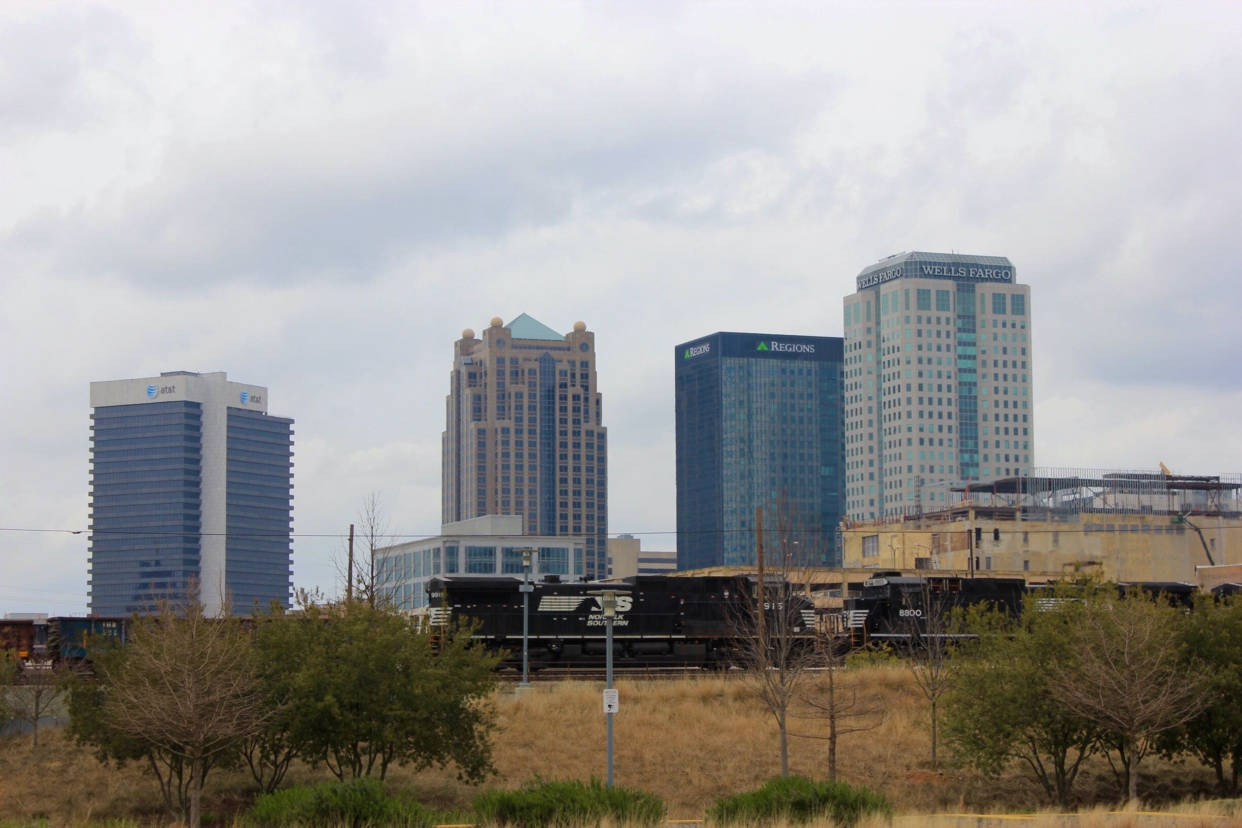
This matters across the big-footprint buildings that define the local market: the distribution and manufacturing facilities in the Oxmoor Valley and out along I-65 toward Pelham, the office complexes off Lakeshore Parkway, the retail and mixed-use roofs along the U.S. 280 corridor, and the warehouse space near Birmingham-Shuttlesworth International Airport. On roofs measured in acres, an aerial survey turns a slow, partial, foot-traffic-heavy inspection into a fast, complete, and far gentler one.
Seeing the Whole Roof, Not a Sample
Traditional inspection of a 200,000-square-foot roof is necessarily a sampling exercise. An inspector walks accessible areas, checks the obvious details, and extrapolates. The problem with a flat roof is that the failure you most need to find is rarely where it is convenient to look. A drone flies a planned grid over the entire surface and brings back imagery of every square foot, so the assessment is based on the actual roof rather than a representative slice of it. For owners managing several buildings across Jefferson County, this consistency is what makes the reports comparable from one site and one year to the next.
Thermal Imaging and Trapped Moisture
The single most valuable thing aerial inspection adds is the ability to find trapped moisture, and that is a thermal camera's job rather than a visual one. When water gets past the membrane and saturates the insulation below, the wet areas hold heat differently than the dry areas around them. After a sunny day, as the roof cools in the evening, saturated insulation releases its stored heat more slowly and shows up as warm signatures in a thermal scan. We fly the roof during that cooling window and map those signatures to reveal where moisture is sitting under the surface, long before it shows up as a stain on a tenant's ceiling.
This is enormously useful on Birmingham's older built-up and modified bitumen roofs, where a small breach can wet a large area of insulation while the membrane above still looks intact from the air. By the time the leak appears inside the building, the wet insulation may extend far beyond the visible problem. Thermal mapping shows the true extent of the saturation, which means a repair can target the actual wet area instead of guessing at its edges.
What Thermal Scans Catch Early
- Saturated insulation spreading out from a small membrane breach
- Moisture tracking under seams and at flashing details
- Wet areas around rooftop units, drains, and penetrations
- Failing sections that still look sound to the naked eye from above
- The full footprint of damage, so repairs are scoped correctly the first time
Keeping Crews Off the Membrane
Every time someone walks a low-slope roof, they wear on it. Foot traffic compresses insulation, scuffs the membrane, stresses seams, and can drive grit into the surface. On ballasted and gravel-surfaced roofs, walking shifts the surfacing and exposes the membrane to the sun. Inspecting from the air removes nearly all of that wear. Our crews only step onto the roof to verify and document the specific spots the drone flags, instead of pacing the entire surface every visit. For occupied buildings around the UAB medical district or the office corridors off U.S. 280, this also means less disruption, no roof hatches propped open all day, and no crews tracking across sensitive rooftop equipment.
Aerial inspection is also simply safer. Steep details, fragile skylights, weak decking, and roof edges are exactly the places an inspector is most at risk and most likely to cause damage. A drone reaches all of them with no one exposed to a fall and nothing for an inspector to step through.
Flying Legally and Safely Around Birmingham
Commercial drone work is regulated, and we treat that as a core part of the service rather than an afterthought. Our drone operations follow FAA rules for commercial small unmanned aircraft, including operating under the appropriate remote pilot certification and the operating limits that come with it. That structure matters in Birmingham because of the airspace. Birmingham-Shuttlesworth International Airport sits northeast of downtown and casts controlled airspace over a wide swath of the metro, which means many commercial roofs in and around the city fall in areas where flights require authorization before a drone leaves the ground.
Before any inspection, we check the airspace over your specific address, secure the authorizations a controlled-airspace flight requires, and plan the flight around altitude limits and any temporary restrictions. We also account for the practical safety details on the ground: keeping the aircraft clear of people, traffic, and adjacent properties, and choosing weather windows where wind and visibility allow a stable, legal flight. An inspection that ignores the airspace rules is not faster, it is a liability.
Why Airspace Awareness Protects You
Buildings near the airport, along the rail and industrial belt through the city, and downtown near Railroad Park and Innovation Depot frequently sit under controlled airspace. Handling the authorizations correctly keeps the inspection compliant and protects the building owner from being associated with an unauthorized flight. We carry that responsibility so you do not have to think about it.
Turning Imagery Into a Report You Can Use
A pile of photos is not an inspection. After the flight, we process the visual and thermal imagery into a clear report that locates each finding on the roof, explains what it is, and recommends what to do about it. Suspected moisture areas, damaged flashings, ponding spots, and surfacing problems are marked on a roof map so your team and any future contractor can find them again. For owners running a maintenance program or planning capital budgets across a portfolio, this turns the roof from a black box into a documented asset with a clear condition record.
We use these aerial assessments for routine condition surveys, for moisture mapping before a recover or replacement decision, and for documenting a roof after a storm. Year over year, repeat flights let us track how a roof is changing and catch slow problems while they are still cheap to fix. For a Birmingham property owner trying to get the longest possible life out of a major roof, that early warning is the whole point.
Schedule a Drone Inspection
If you own or manage commercial property in the Birmingham area and want a complete, gentle, well-documented look at your roof, an aerial inspection is the most efficient way to get it. We will confirm the airspace over your building, fly a full visual and thermal survey, and deliver a report that tells you exactly where your roof stands and what it needs next. Reach out and we will get your roof on the schedule.